
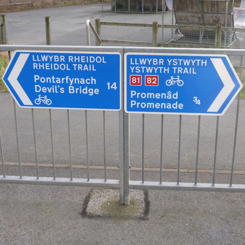
Active Travel
Here you will find information on Active Travel in Ceredigion.
The Active Travel (Wales) Act 2013 places a duty on local authorities to plan for, improve, and promote routes for walking and cycling for everyday journeys.
Ceredigion Council is required by the Active Travel (Wales) Act 2013 to produce a Future Route Map setting out a 15-year programme of improvements to active travel routes.
In order to meet this duty, local authorities must also publish an Existing Routes Map which shows routes which are suitable for walking or cycling and which meet the standards set out in the Welsh Government’s Active Travel Design Guidance.
Our Vision – Aberystwyth Area Active Travel Route Proposals
This 3D flyover video has been produced in March 2025 to show how the ‘Waunfawr to IBERS Active Travel Link’ scheme will connect with the communities of Penrhyn-coch and Bow Street via Comins Coch. It also shows Future Route proposals to connect Existing Routes with Aberystwyth Town Centre and nearby communities as part of the wider walking and cycling network.
Scheme development work is ongoing for the proposed Future Route enhancements shown and it should be noted that these are not yet guaranteed for future delivery.
Routes on the TRA44 and TRA487 are under the responsibility of the North & Mid Wales Trunk Road Agent (NMWTRA) and the Welsh Government, who manage the Trunk Road network.
This video has been funded by the Welsh Government’s Active Travel Fund Core Grant which is administered by Transport for Wales.
Active Travel Network Map - Ceredigion's Existing Routes and Future Routes (2022)
Active Travel Network Map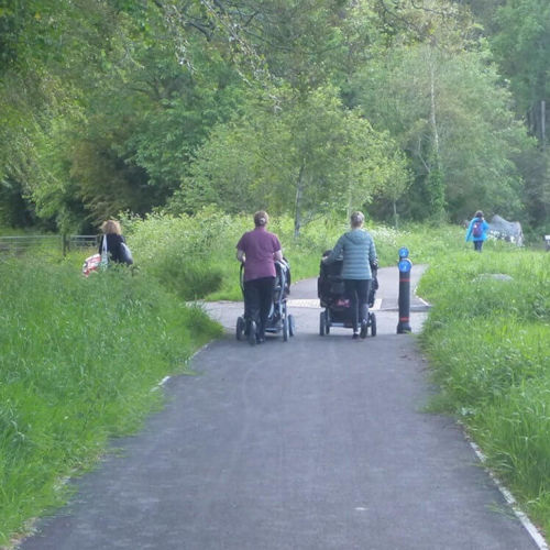
Existing Route Maps and Integrated Network Maps from 2018 (for reference purposes)
Existing Route Maps and Integrated Network Maps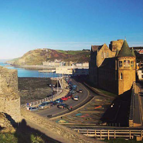
Active Travel Map for Aberystwyth
Active Travel Map for Aberystwyth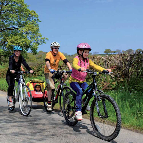
Get Cycling Ceredigion
Get Cycling Ceredigion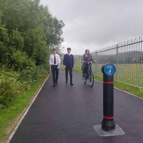
Annual Active Travel Reports
Annual Active Travel Reports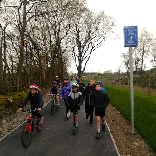
Waunfawr to IBERS Active Travel Link Scheme Proposals
Waunfawr to IBERS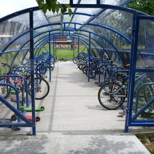
Active Travel Image Gallery
Active Travel Image Gallery
Plascrug Active Travel Bridge Scheme
Plascrug Active Travel Bridge Scheme